Landscape Capacity Studies

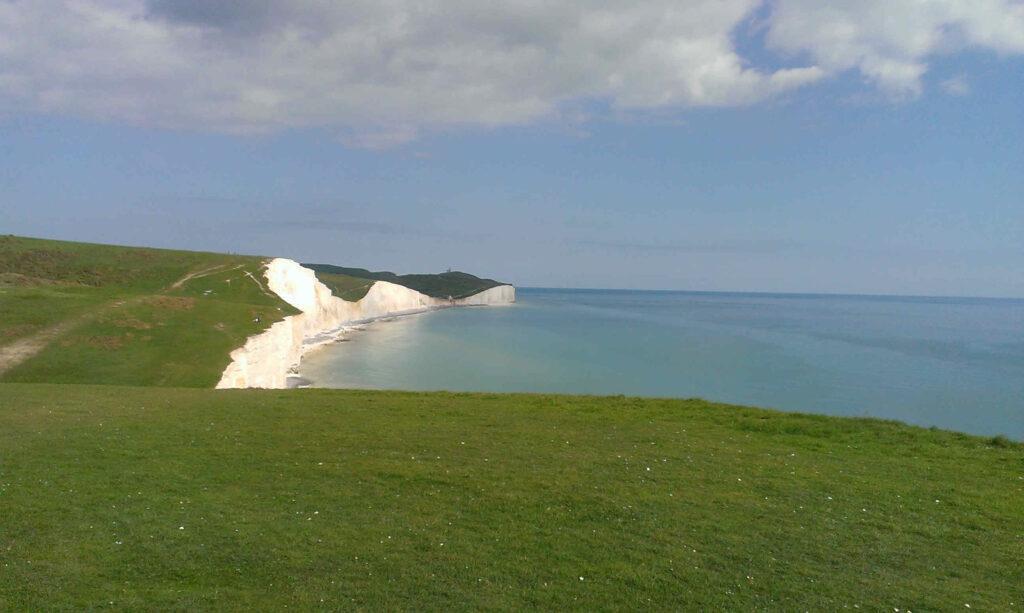
Landscape capacity is the extent to which a type of landscape is able to accommodate change without significant effects on its local distinctiveness, its landscape character or landscape type.
The findings of landscape capacity studies tend to reflect inherent sensitivity of landscape and sensitivity to development. Also, the value attached to the landscape and its elements forms a part of the landscape capacity study. A series of judgements on landscape sensitivity and landscape value are made and mapped on a landscape character area basis. The assessment of landscape character and visual sensitivity, takes into account the following factors, namely: Inherent landscape quality, intactness and condition of the landscape. Also, it examines the contribution each area makes to local distinctiveness. Consistency with the form or pattern of a particular settlement and the relationship of this with the landscape type is also examined. The main aims of Landscape Capacity Studies are to give a transparent, consistent and objective assessment of landscape capacity of different locations.
Land deemed to have “spare capacity” or potential capacity is often land around Category 1 and 2 settlements (large towns and villages) including some smaller but “sustainable” settlements. Category 1 and 2 towns and as well as “sustainable settlements” are often seen as the best possible locations for new housing and also for employment creation.
More studies will be required to look at specific areas where new development can best be placed without any adverse landscape and visual impacts. As a consequence of the need to accommodate development without causing harm to the landscape, landscape assessment reports and ecology studies may need to be carried out. It is good practice for these studies to be included in decision making. Landscape capacity studies are referred to, where available, as they can help to guide the Local Planning Authority (LPA) in assessing potential development.
Landscape Capacity Studies.
Landscape capacity studies solely look at landscape capacity. They do not determine the detail of the actual impacts of potential development.
Levels of landscape sensitivity and capacity that are identified as part of the study are, by necessity fairly generalised statements across each area. These can be assessed in more detail for areas where protected landscapes adjoin sites.
These general levels of landscape capacity determined will indicate which detailed landscape and visual issues will need to be examined in each site allocation. Also they will help to inform how a development is undertaken and managed. The LPA take the lead in this, but are reliant on the studies undertaken by qualified landscape professionals such as Landvision to inform the decision making of the LPA planning team.
Landscape Capacity Studies and Landscape Visual impact Assessment (LVIA).
LVIAs are studies often carried out in conjunction with or after Landscape capacity studies. LVIAs are undertaken by qualified landscape professionals to assess visual impacts or landscape effects which might occur. Frequently the landscape architect will also advise on how to minimise any adverse effects on potential locations. LVIAs work with development proposals and look at ways to minimise any potential visual impact and ways in which mitigation (perhaps planting) can help reduce the impact of the development. LVIAs do determine the detail of the impacts of any potential development.
LVIAs are particularly useful for proposed developments in or near highly protected landscapes such as National Parks, Areas of Outstanding Natural Beauty and Special Landscape Areas. If you would like to know more about services that Landvision can supply; Landscape capacity studies and LVIAs please ring 01892 782200 or use contact us page.
