When is an LVIA needed?
What does it do?
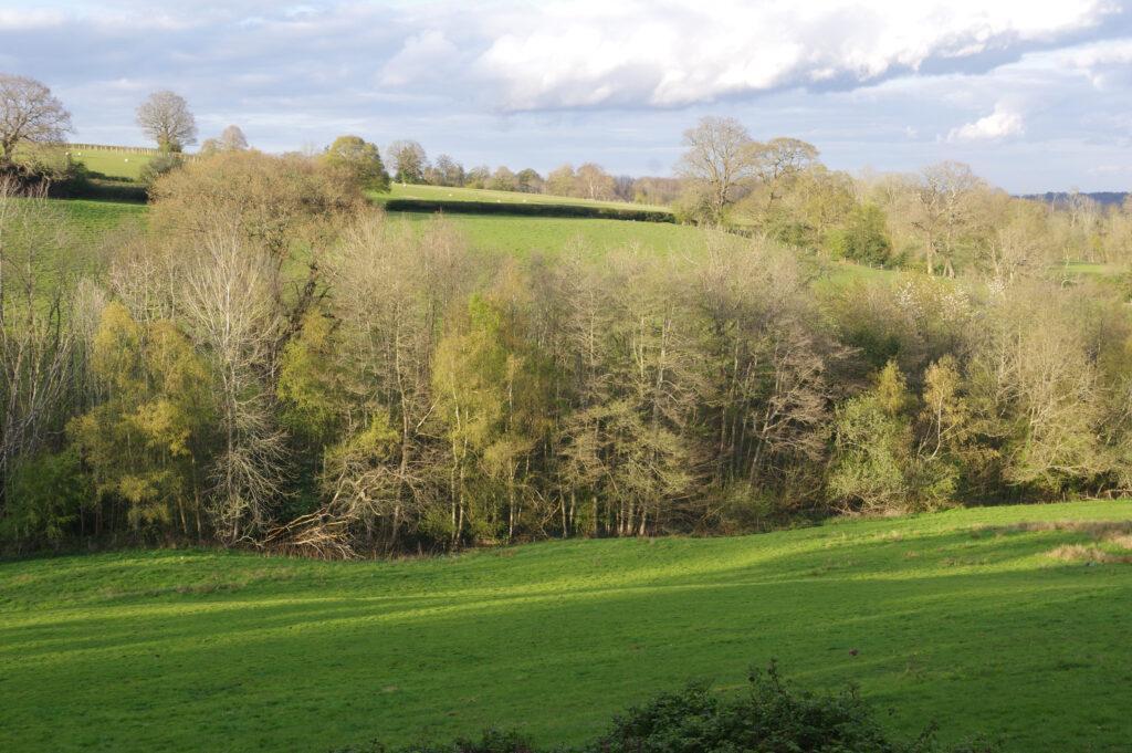
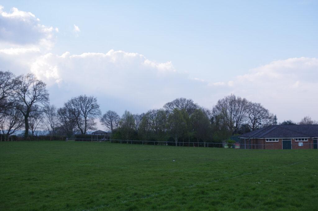
An LVIA is useful to assess likely visual impacts on the wider landscape as well as on the landscape of the site.
An LVIA may be requested to accompany a planning application. Often for a protected landscape. The Green Belt, a National Park or an Area of Outstanding Natural Beauty (AONB.)
How will an LVIA help?
What will be recommended and why ?
The planning application will be assessed once the LVIA has been submitted. Visual impacts may require softening through planting. Landscape effects may require mitigation and other enhancements which will need to be agreed as part of the planning permission through Section 106 agreements.
Establishing a baseline assessment is the first step. Scoping is the first stage of a Landscape and Visual Impact Assessment (LVIA.)
Scoping reviews the landscape baseline information; that is, the existing landscape character and landscape resource.
What are Viewpoints and when are these determined ?
It is a part of the methodology to discuss possible viewpoints of the proposed development with the local authority Landscape Architect.
We find it useful to do this at an early stage in the formulation of the LVIA.
What data is used for an LVIA ?
The use of plans, online data, maps, Landscape Management Plans and Landscape Character classification and analysis are key to obtaining an understanding of visual impact of a proposed development. Drone survey is a useful tool in vegetation mapping and LVIA.
What is a ZVI Map ?
It can also be useful to prepare a Zone of Visual Influence map (ZVI) or Zone of Theoretical Visual Influence (ZTVI.)
These maps use a digital approach to mapping visibility. Buildings and vegetation are not taken into account when producing a ZVI map for a Landscape Visual Impact Assessment, LVIA.
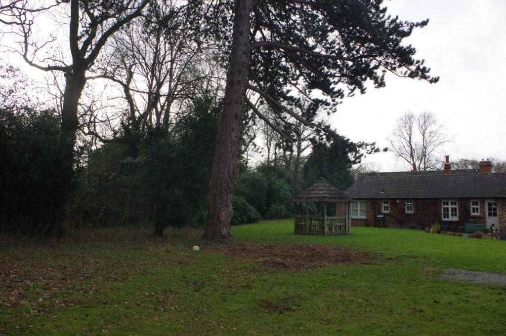
Visual receptors include sensitive receptors (such as walkers on footpaths) and these form part of the Landscape visual impact assessment report analysis.
Landvision will analyse the likely views from key viewpoints. During the site visit, we will note visual receptors and their location. This helps us to see how the landscape is used at present.
What data is used for an LVIA ?
The use of plans, online data, maps, Landscape Management Plans and Landscape Character classification and analysis are key to obtaining an understanding of visual impact of a proposed development. Drone survey is a useful tool in vegetation mapping and LVIA.
Photographic Material
The Landscape and Visual Impact Assessment process
- Baseline assessment and feasibility studies
- Assessment of visual impacts.
- Sensitivity of landscape and Visual receptors.
- Zone of Visual Influence (ZVI.)
- Photomontages.
- Nature of impact.
- Significance of Visual Impact.
- Visual Resource Change Magnitude.
- High quality 3D images.
Landscape Visual Impact Assessment Methodology and Good Practice
What are the long-term aims and results of a thorough working knowledge of LVIA?
Landvision’s Landscape and Visual Impact Assessment (LVIA) can become part of an Environmental Impact Assessment (EIA); the LVIA part of an EIA provides important information in assisting and identifying the potential visual impact of a development proposal.
Ideally, a LVIA will be undertaken by our landscape architects team, at the early stages of any large planning application.
In a Special Landscape Area (SLA), National Park, or in an Area of Outstanding Natural Beauty (AONB) the use of LVIA will enable planners to assess the likely impacts of a planning application.
It will also help planners to find the best fit for your development in the landscape. There is a set methodology which Landvision are familiar with and which will be followed according to our Professional training, with our extensive experience and to the Good Practice Guidelines of The Landscape Institute.
To find out how we can help you, or to obtain our expert Landvision team’s LVIA for your project; speak to Landvision landscape architects on 01892 782200 or use our contact page