Landvision’s ecology team have over 19 years’ experience in ecology. This includes Preliminary Ecological Appraisal (PEA). We are professionally qualified. This enables you to be advised early on. Why is this important? To obtain planning permission for your project, a PEA may be needed. Additional ecological work may be required and can be doen at PEA stage.
Arrange a preliminary ecological appraisal now.
What does a Preliminary Ecological Appraisal entail?
Surveying PEA
- Ecological data desk study;
- Then UK Habitat Classification Survey and mapping.
- This is extended to include the potential for a site to contain supported protected species.
The aim of a PEA is to define the ecological constraints and the opportunities on your site. This is prior to the development going ahead. We will be able to give you advice and help on what further surveys may be required, in order to provide a comprehensive ecological snap shot of your site. The PEA will allow Landvision to advise on any action required, and other surveys required. Such as
- Phase 2 Bat Survey
- Phase 2 Great Crested Newts
- Phase 2 Reptiles
- Bat Scoping Survey
- Birds, including Breeding Bird Surveys
- Dormice
This will enable you to satisfy planning policy and Countryside Law, as well as Wildlife Laws.
This will mean that we can advise you on how best to comply with policy and legal requirements throughout the planning process, as well as through the course of the development.
When can a PEA be done?
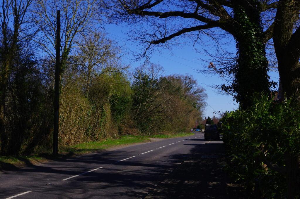
A PEA should be carried out as soon as possible in the planning application process. PEAs can be carried out throughout the year, but the ideal window is between April- September. If the PEA is done after this period then the seasonal changes may mean that other survey work will be needed later.
Our Landvision Preliminary Ecological Appraisal Services.
- marine sites;
- development that ‘results in negligible… or minimal impacts to low or medium distinctiveness habitats’ ;
- householder applications such as building extensions;
- change of use applications;
- schemes covered by the Transport and Works Act 1992 and Highways Act 1980.
Ecological background checks in a desk Study.
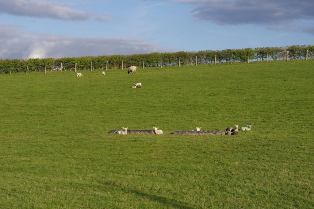
Why is a desk study important? The Landvision team will collate the data obtained from statutory designated sites which include Sites of Special Scientific Interest, including priority habitats. We will also be able to identify areas which may be locally designated and hence protected for wildlife, such as Local Wildlife Sites (LWS). We will liaise with the local records centre/s to obtain the most up to date data on wildlife and any records on protected and priority species in the study area close to the site.The data are shown in GIS, and other google applications, in map form and the sources are interactive.
Landvision Habitat Survey.
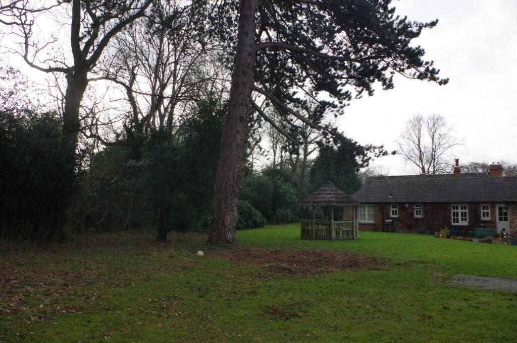
- First site visit to record habitat types present.
- Assessment state of habitats present.
- Assess potential for habitats to support protected species.
- Record field evidence of protected species and priority species.
- Give help and advice to deal with any potantial issues for ecology.
- Identify requirements to mitigate for possible effects in order to comply with policy and law.
- Give guidance to enhance the site.
Using the standard mapping techniques for Phase 1 habitat survey. We will map all the habitats present on the site and any in the surrounding area. Then we examine the botanical composition and any field signs for protected species. We will record these in written, mapped, and photographic form. Any signs of nesting birds, use of site by Dormouse, or sightings of protected species will also be recorded. This may include signs of bat roosts or habitat for amphibians and reptiles.